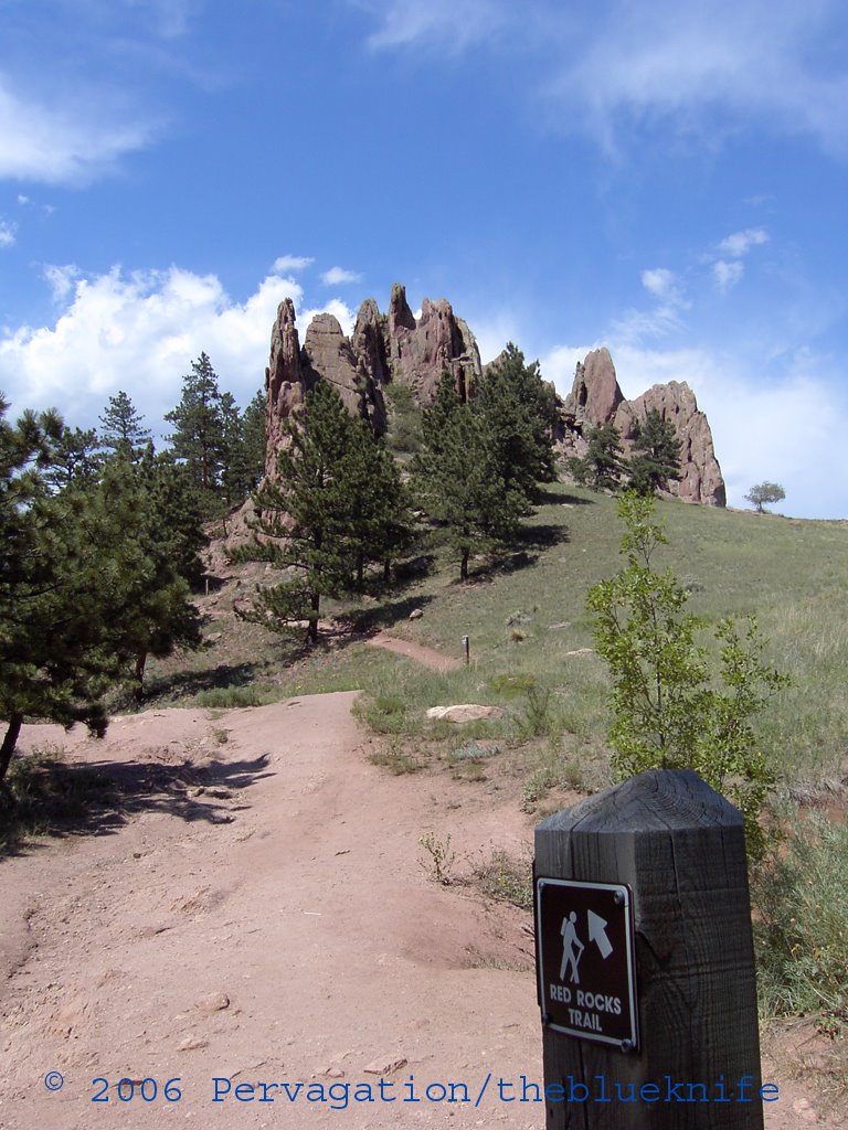
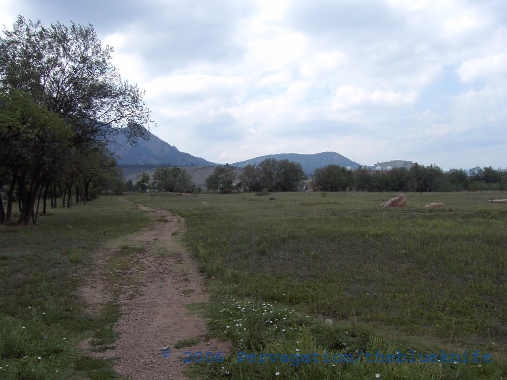
The beginning of one of the pathways just off Broadway (note the hill in the distance):
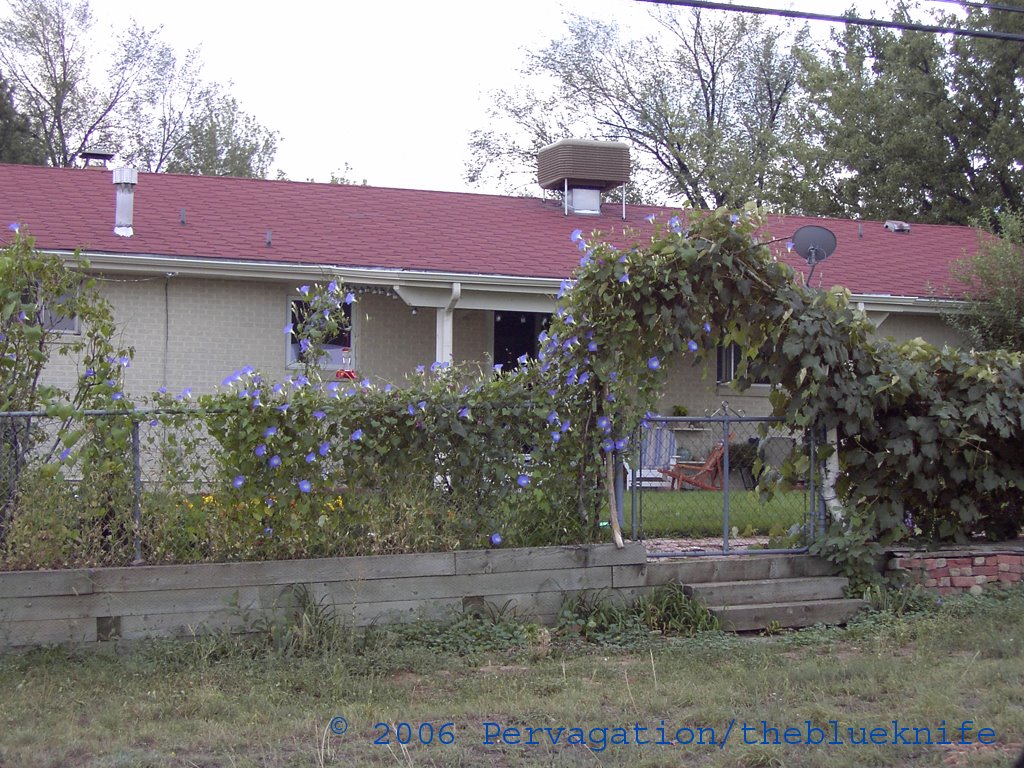
Somebody's back fence covered with flowers and ivy:
This portion of the grounds is popular with dog owners:

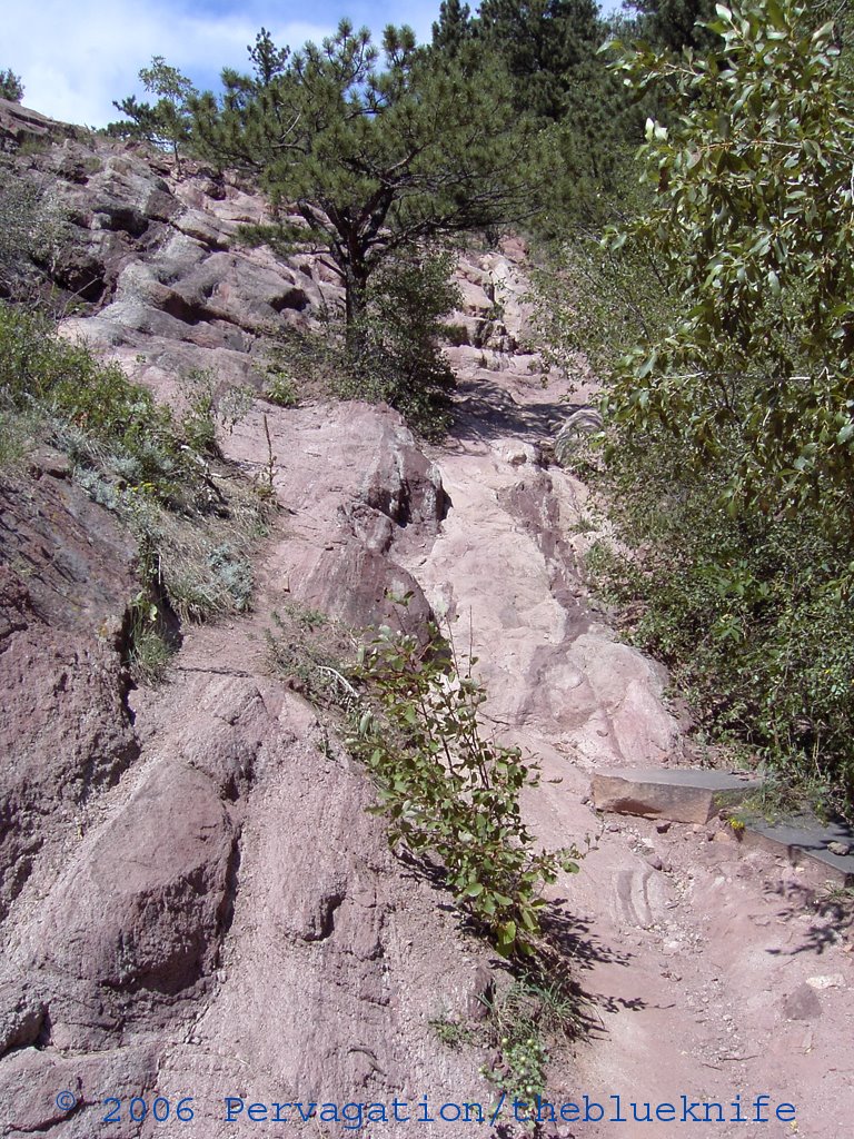
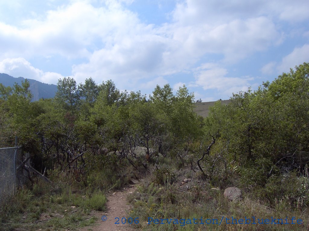
Trail through the brush to my rock:
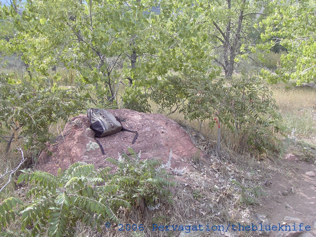
The reading/talking stone:
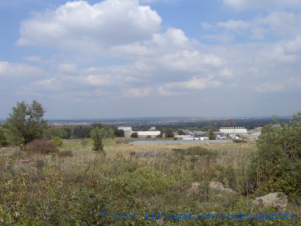
Looking east while sitting on the boulder:
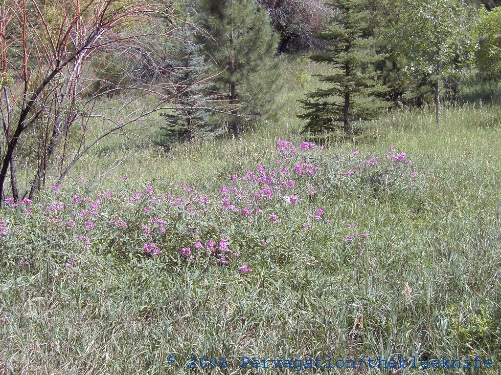
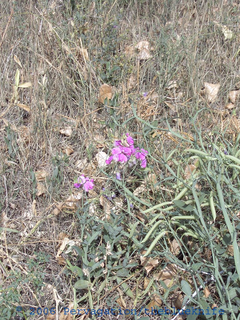
Some pink-ish flowers (again):
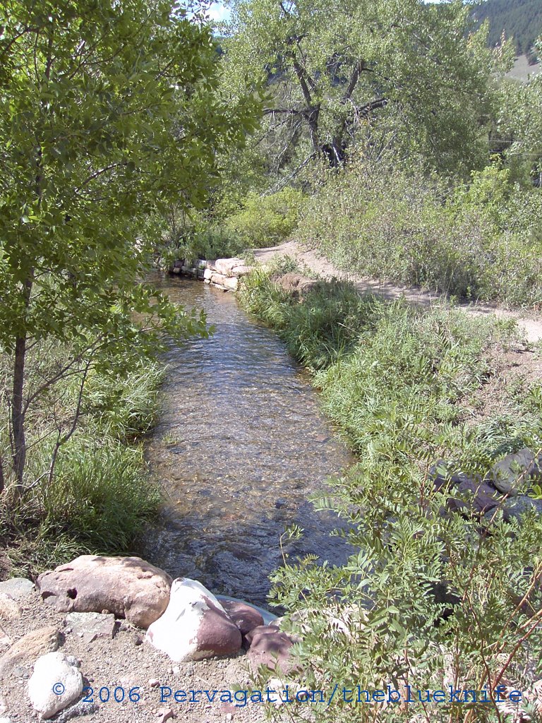
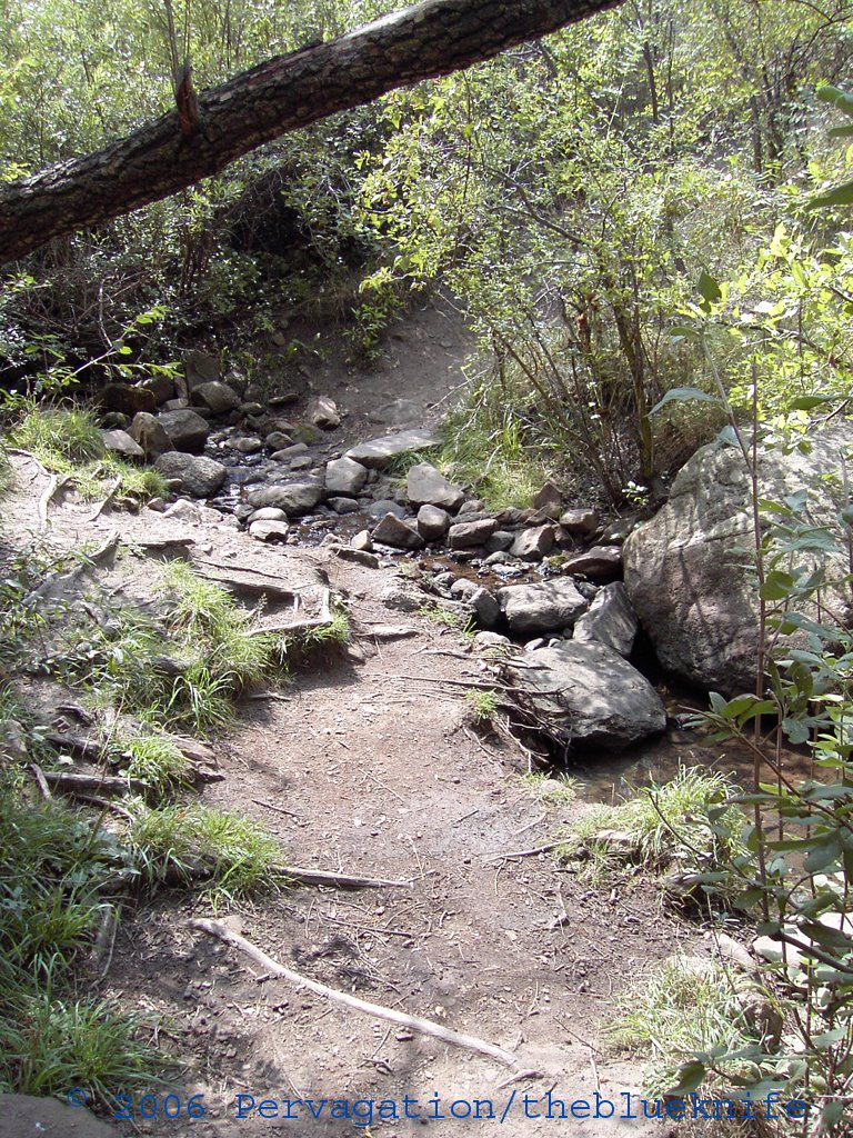
A small stream crossed by the walking path:
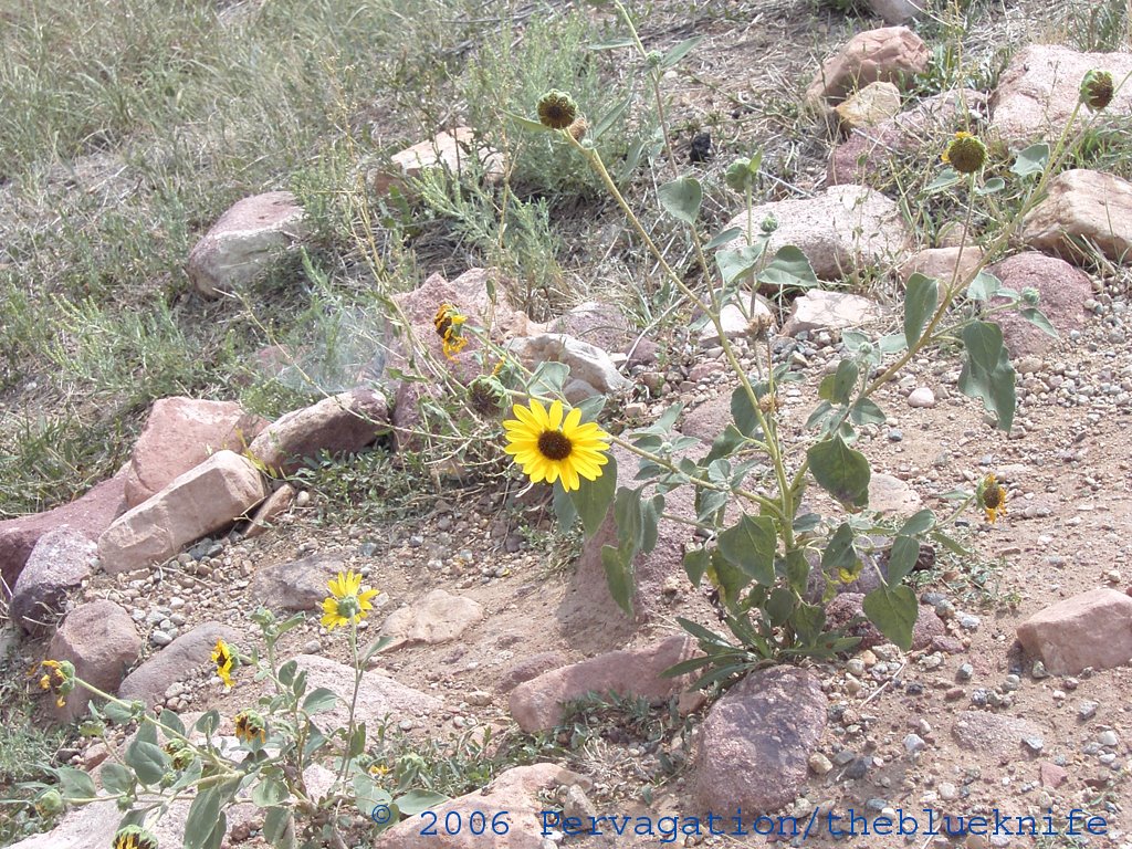
Yellow flowers this time:
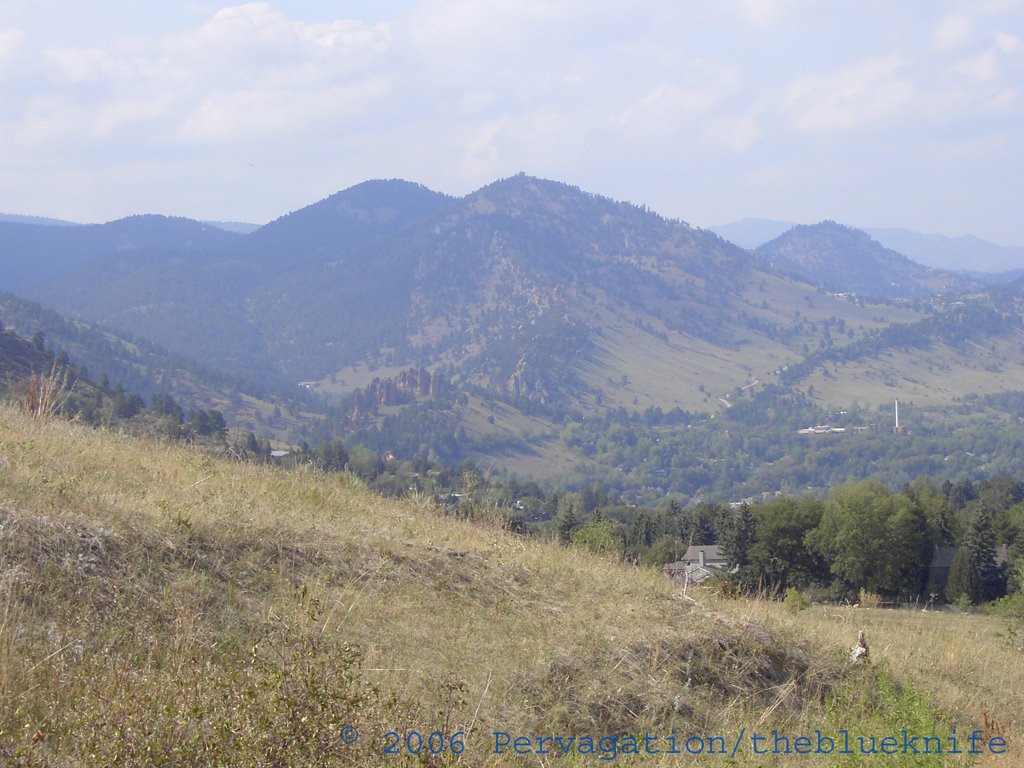
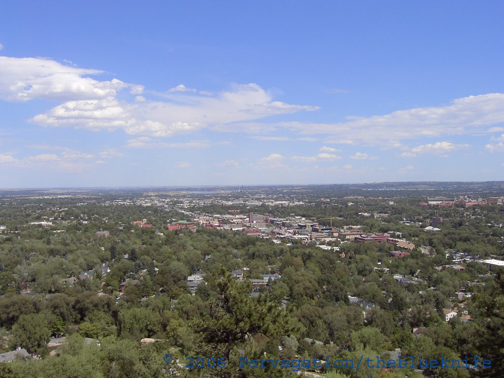
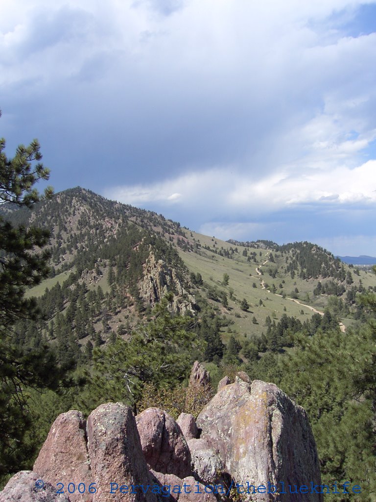
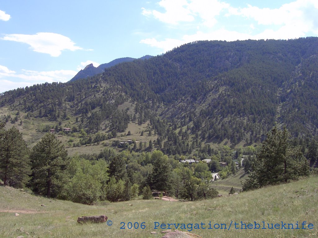
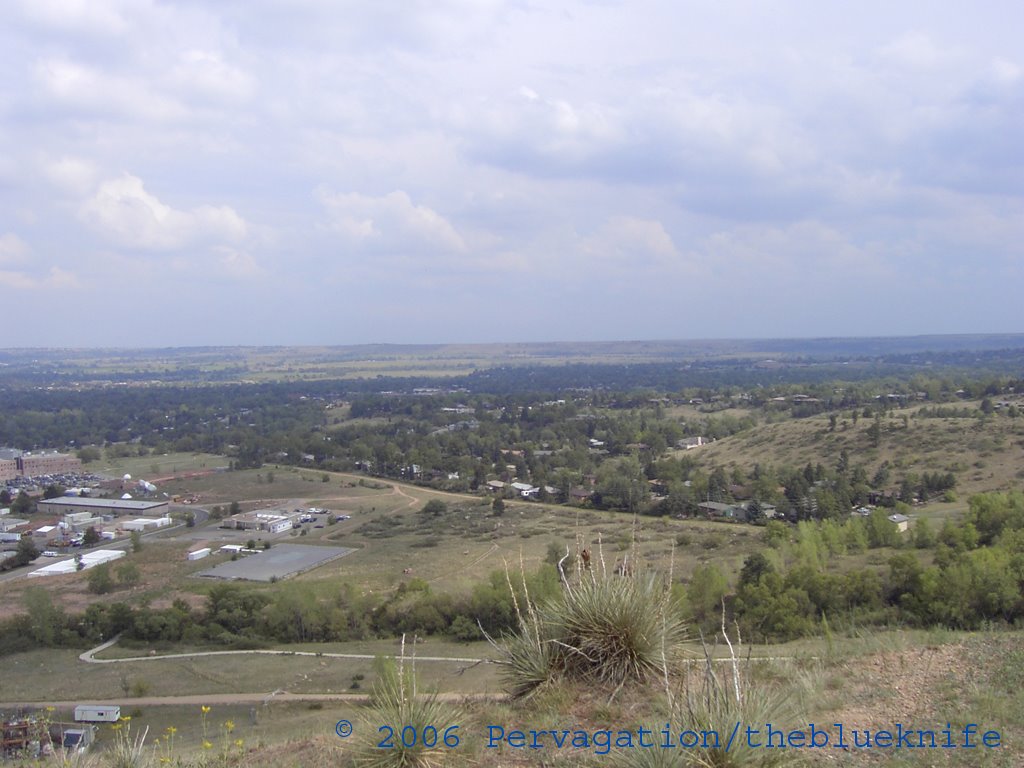
Looking down southeast from the top of this hill (remember it?) you can see part of the NIST complex, the fields surrounding the buildings, the brushpatch with the reading rock, and my neighborhood:
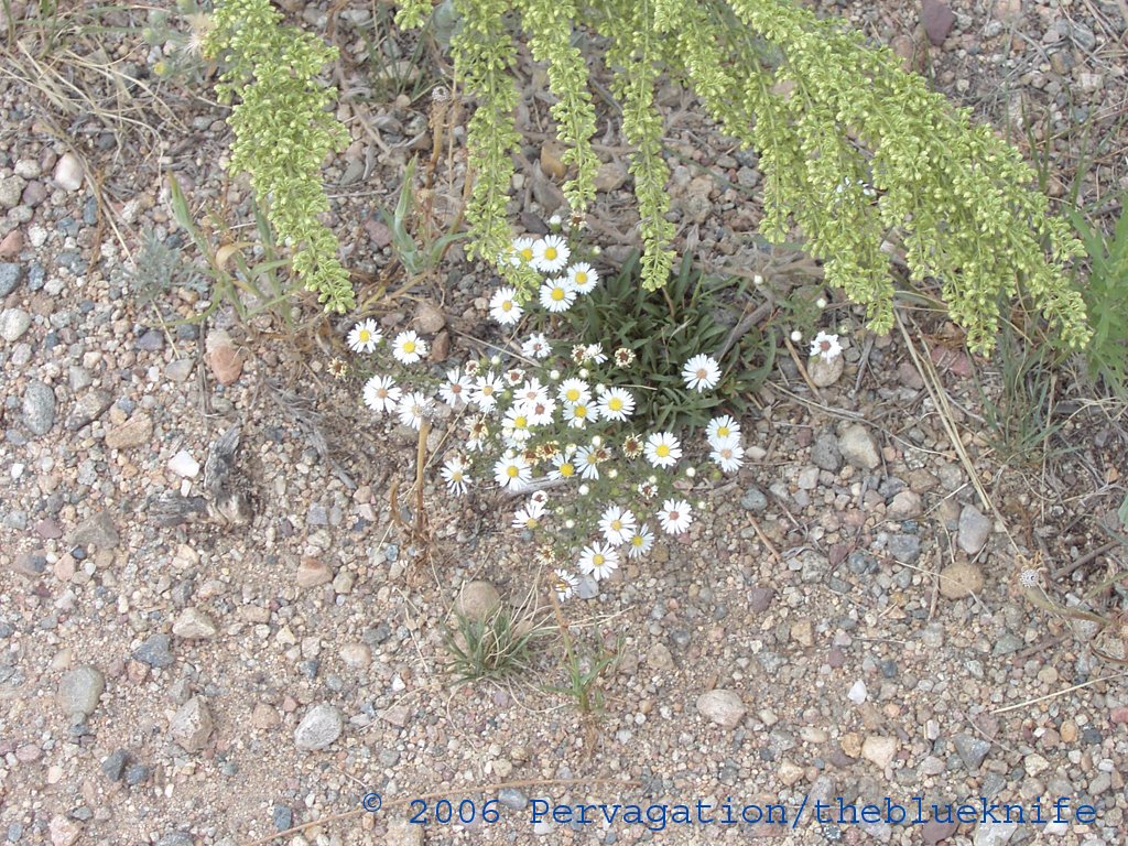
And now for something completely different, white flowers:
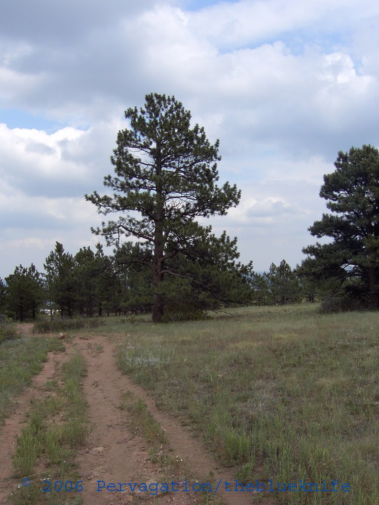
A tall evergreen up on the hill:
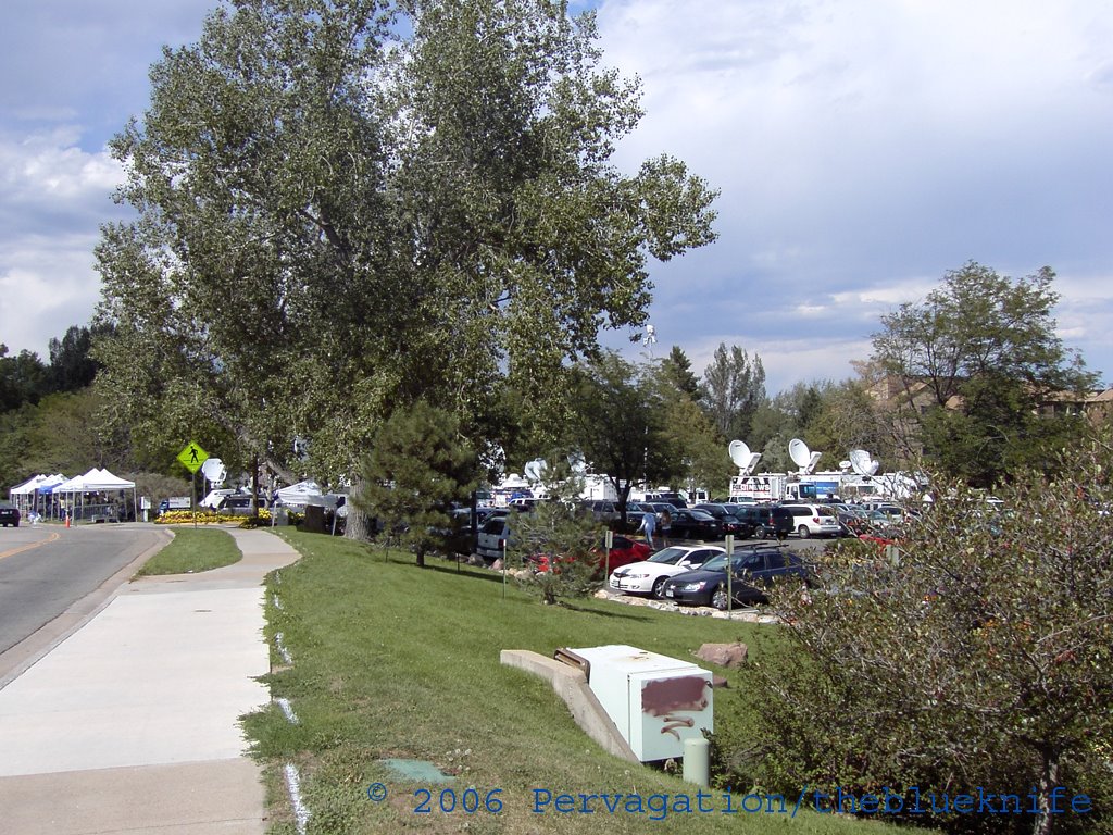
Leaving the NIST grounds:

The ground alive with new conifers:

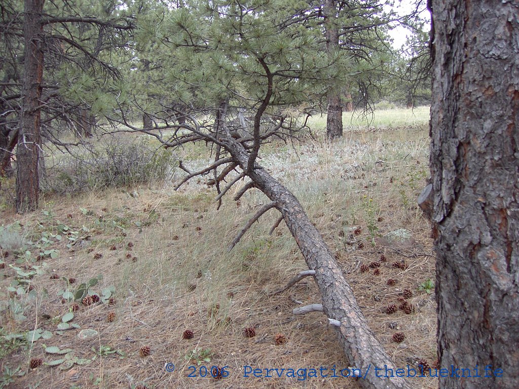
A comfortable and convenient arrangement for relaxing:
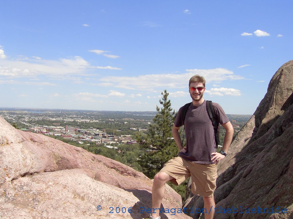
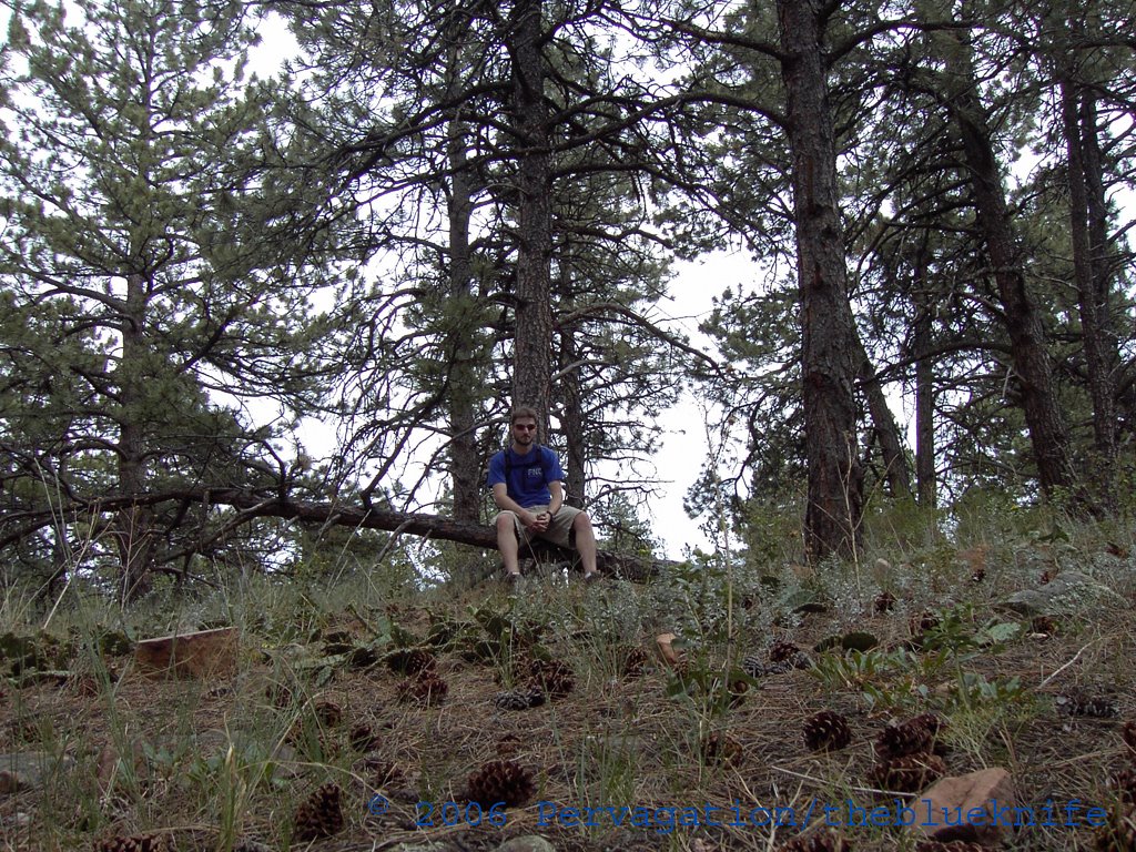
A poor shot of me taking advantage of the situation:
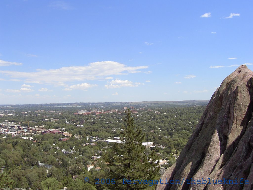
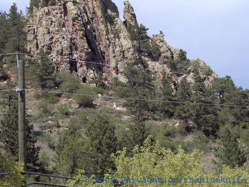
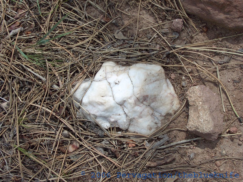
This rock looks out of place up here (quartz perhaps?) though I did encounter more of them up the trail:
Ah ha, finally names for these roads I have been travelling:
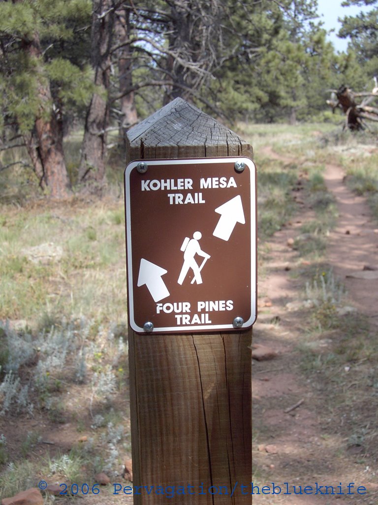
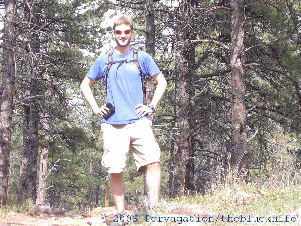
Me on the Kohler Mesa path (looking back toward the Four Pines intersection):
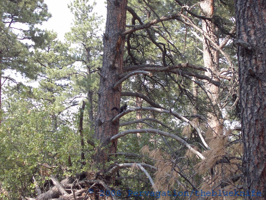
No, this isn't just a crappy picture; that actually is a black squirrel:
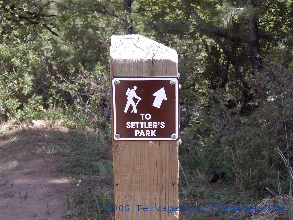
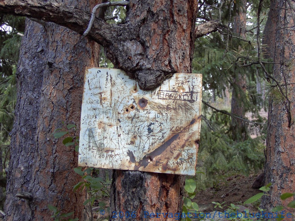
I wonder what this sign said originally:
Another trail intersection, but what's that below the top sign?
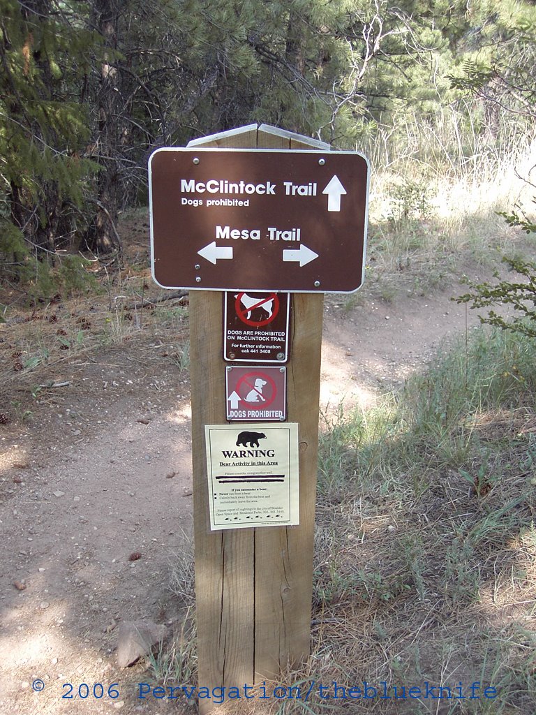
Ah, right.
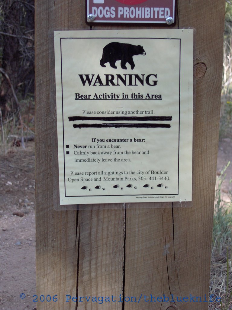
About thirty seconds after taking that picture I encountered a very nice ranger who asked me if I had seen any bears. Apparently, she related, another hiker had reported a bear on the McClintock twenty minutes previously.
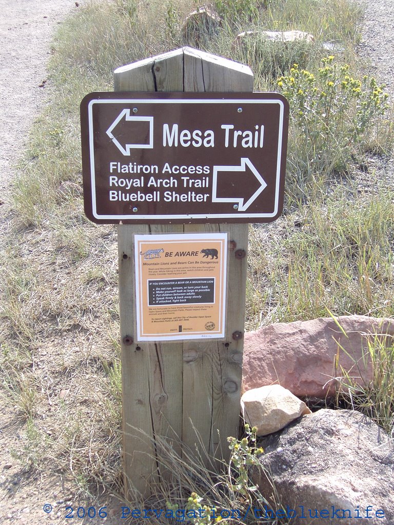
The final intersection, where the Mesa trailways meet a road that leads up to the Royal Arch and Flatirons:
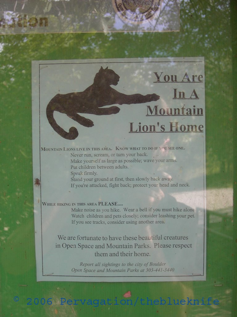
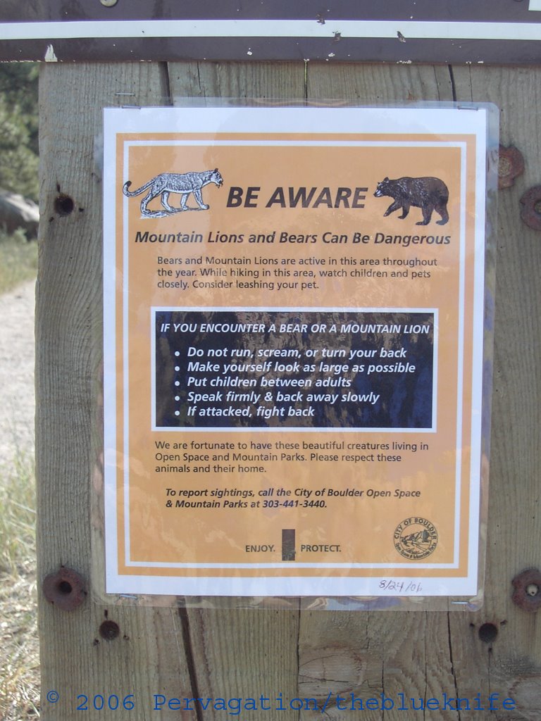
Achtung:
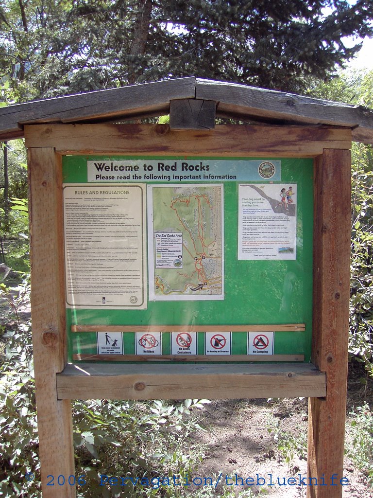
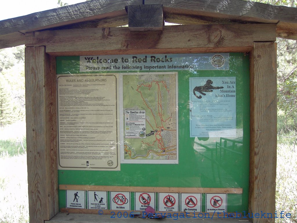
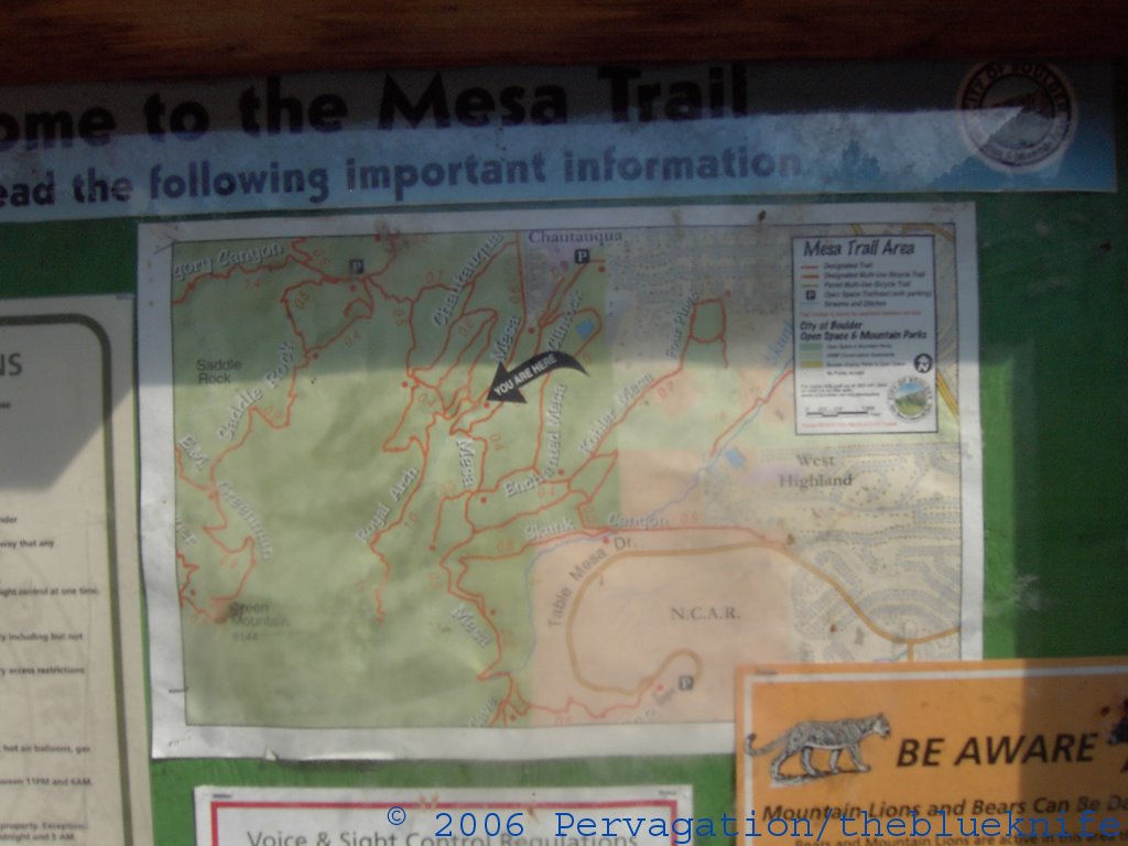
Hey, an information board; that would've been helpful at the beginning.
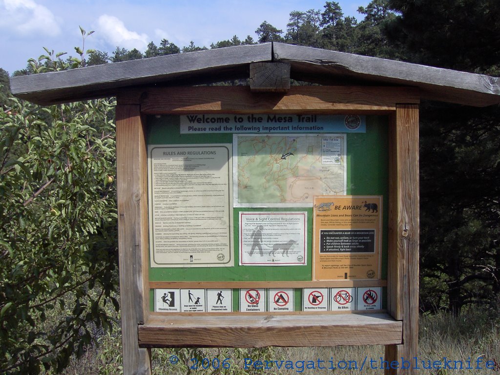
A close-up of the map:
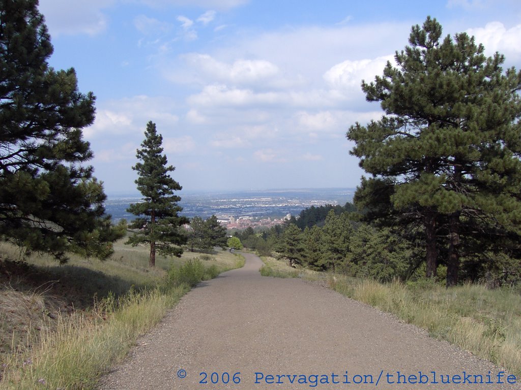
The (easy) way down from the Mesa trailhead to Chautauqua Park:
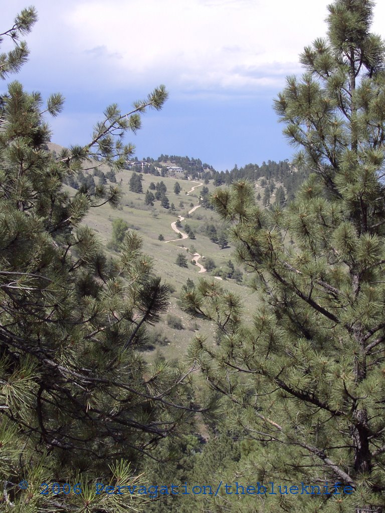
If you look closely, you can see both the Red Rocks and Mt. Sanitas: